World and street maps
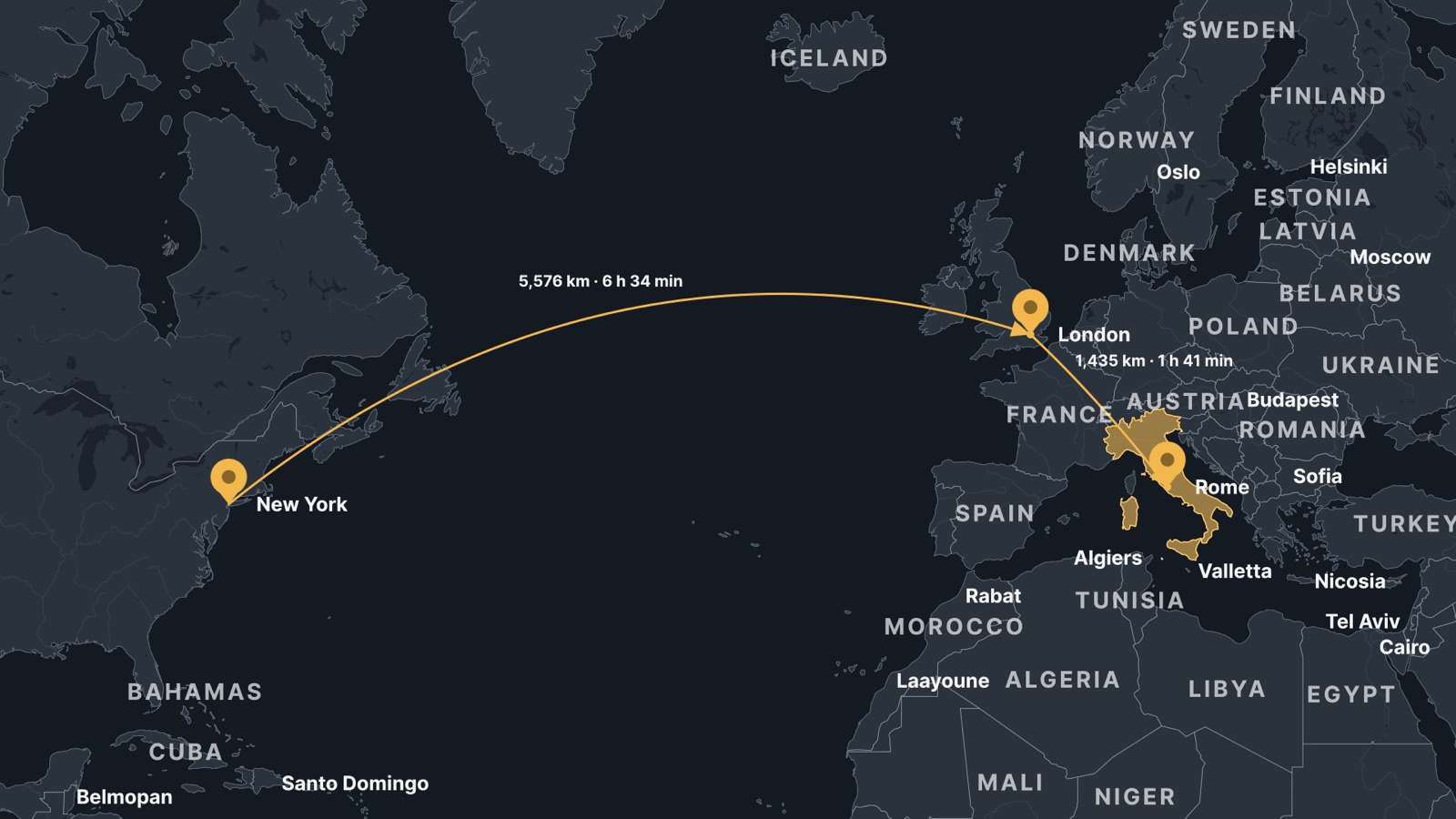
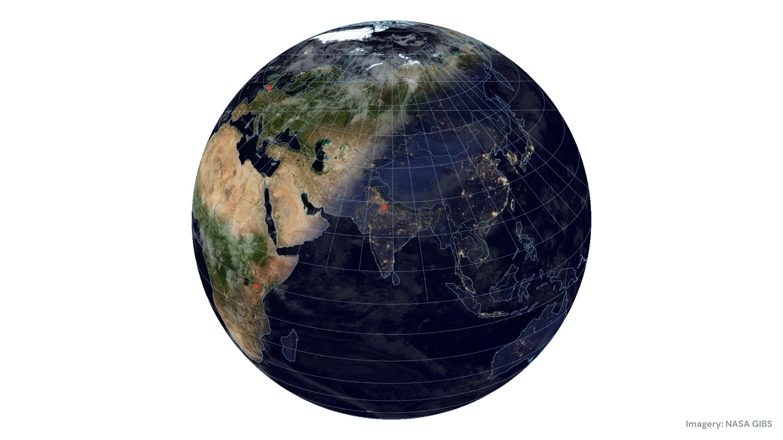
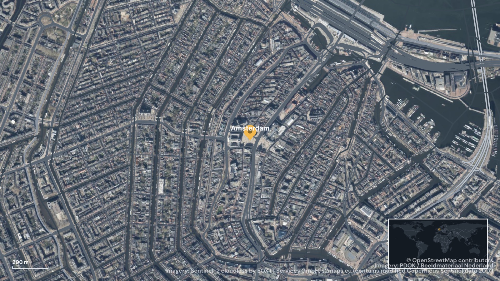
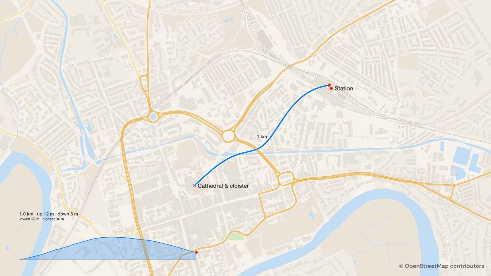
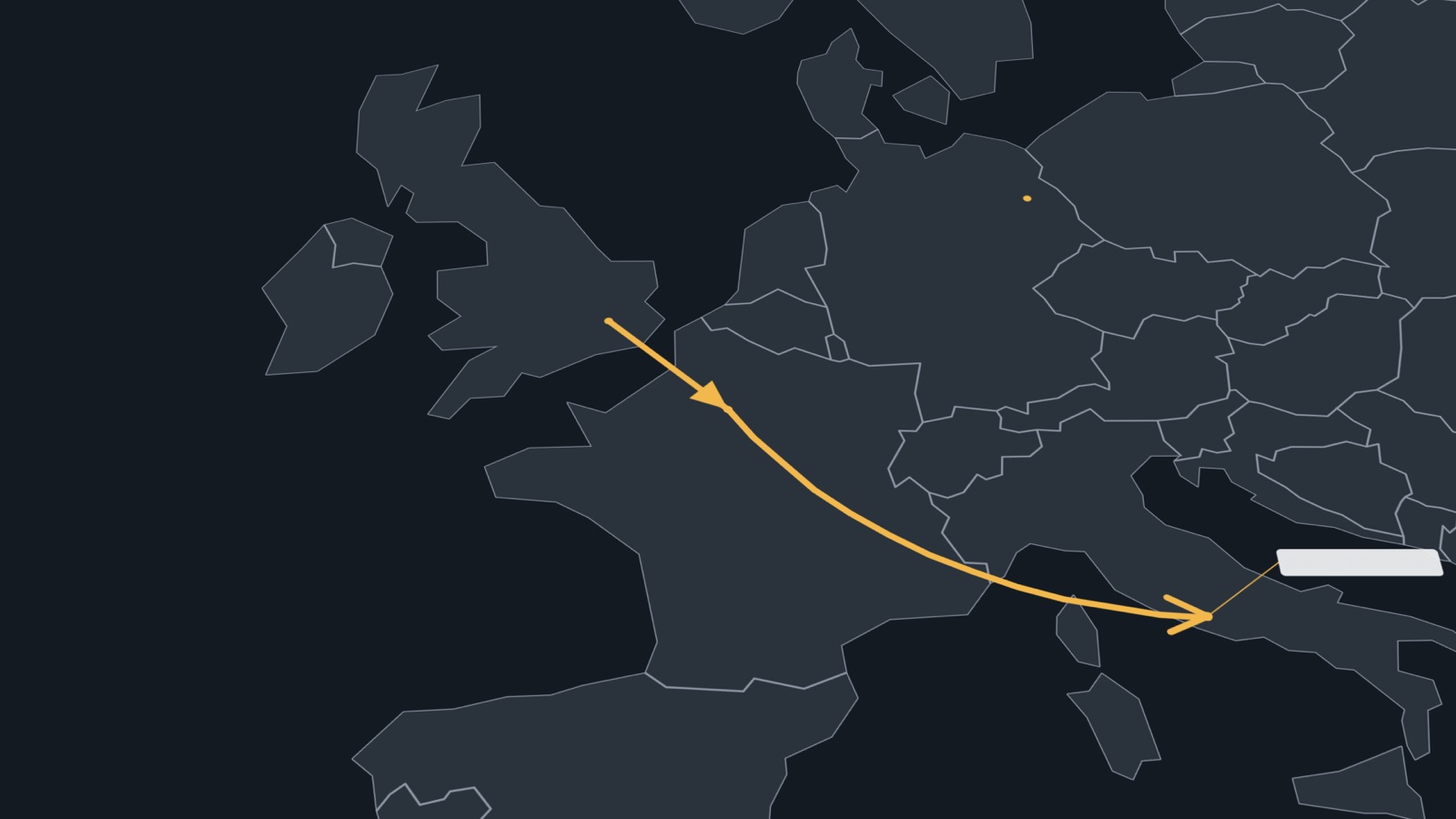
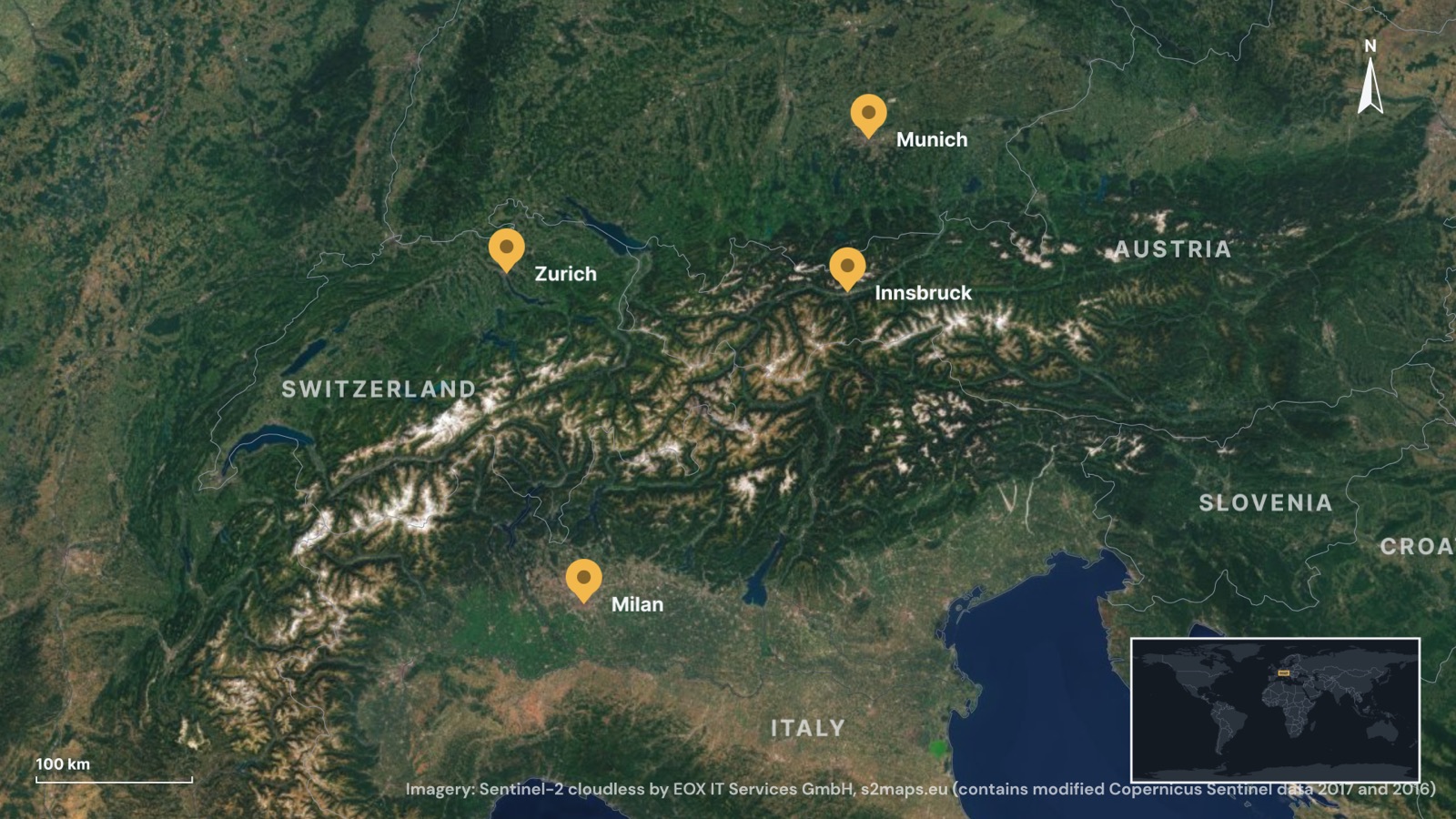
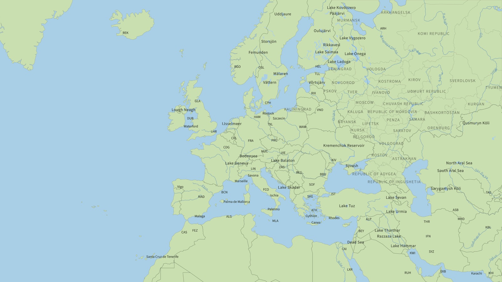
Any country, region or a globe from bundled Natural Earth data, offline, in ten projections. Street maps of anywhere from OpenStreetMap.
The full reference for Atlas. Every tab and control, which maps move with your keyframes, step-by-step tutorials, Atlas MCP for AI apps, and the limits.